Environment & Planning
Plan the environment reliably and present your plans efficiently.
Plan the environment reliably and present your plans efficiently.
Plan the environment reliably and present your plans efficiently.
Gaea+Planning

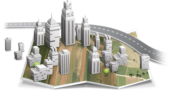
REALISTIC ENVIRONMENT
Visualize and explore detailed photorealistic 3D environment.

SPATIAL ANALYSIS
Analyze selected areas through various data, visualize nearby buildings and infrastructure.

QUALITATIVE PRESENTATION
Present spatial plans in realistic environment in an attractive and efficient way.
Visualize future spatial plans as they will really appear
Gaea+ Planning is a Gis tool for visualization of a future spatial situation. Buildings and additional information can be placed into the Gaea+ in the form of a 2D plan or a 3D model and presented as a realistic 3D environment.


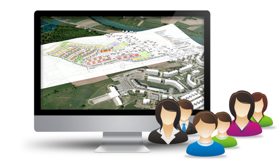
Present your spatial plans publicly online
Gaea+ Online is intended for the use of the government, municipalities, public utility services and citizens. It can be available online as a powerful yet simple tool for informing the general public about any GIS related information.
Present your spatial plans publicly online
Gaea+ Online is intended for the use of the government, municipalities, public utility services and citizens. It can be available online as a powerful yet simple tool for informing the general public about any GIS related information.