GIS for prevention & preparedness
With our solution prevention and preparedness can be performed with less trouble and better results. It helps analytics to visualize environment and infrastructure as well as extract vital data.
With our solution prevention and preparedness can be performed with less trouble and better results. It helps analytics to visualize environment and infrastructure as well as extract vital data.
With our solution prevention and preparedness can be performed with less trouble and better results. It helps analytics to visualize environment and infrastructure as well as extract vital data.
Visualize environment in a photorealistic and detailed quality.
Visualize infrastructure and better understand possible risks.
Manage supplies and prepare for disasters through information about possible causes and appropriate solutions.
Save time and money because of better preparedness and optimized interventions.
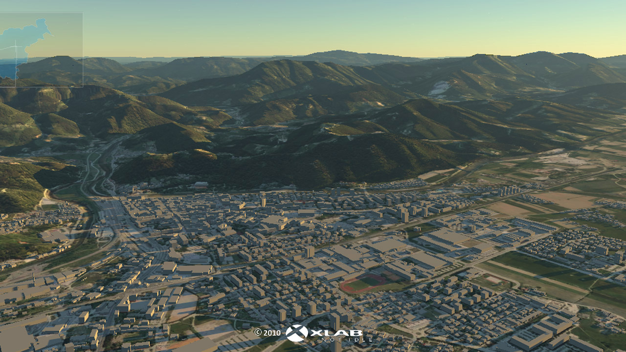
Environment visualization
Gaea+ visualises environment precisely and realistically in form of a 2D or 3D map. Our software includes many analytical tools to analyse the environment. With an easy to use user interface and a reliable search engine you can access every corner of the environment fast and easy.
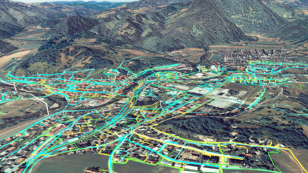
Infrastructure visualization
Infrastructure can be presented manageably on demand. Infrastructure layers of the water supply system, gas installation, electricity, roads, heliports, power plants, water/natural protected areas, natural disaster hazards, etc. can empower analysts to prepare for possible natural disasters much better.
Location of medical supplies
All locations of medical warehouses, civil protection and rescue services can be located and are accessible on a precise map. Better prevention plans can be thus prepared because of this qualitative information about possible rescue operations.

Extract information
Analysts are able to extract various data about the area that they manually select. Data that is usually important for analysts is the number of inhabitants, the number of buildings and its properties, the number of various infrastructure units and its properties, etc.