Intervention management
When disasters strike it is vital to perform interventions manageably and reliably. Our solution for intervention management enables team leaders to have better control over the intervention and field teams to be better organized and act faster.
When disasters strike it is vital to perform interventions manageably and reliably. Our solution for intervention management enables team leaders to have better control over the intervention and field teams to be better organized and act faster.
When disasters strike it is vital to perform interventions manageably and reliably. Our solution for intervention management enables team leaders to have better control over the intervention and field teams to be better organized and act faster.
Simplify intervention operational maps.
Intuitively present important information to the team.
Improve intervention organization.
Save lives, time and money because of the overall improved intervention performance.
Visualization & organization
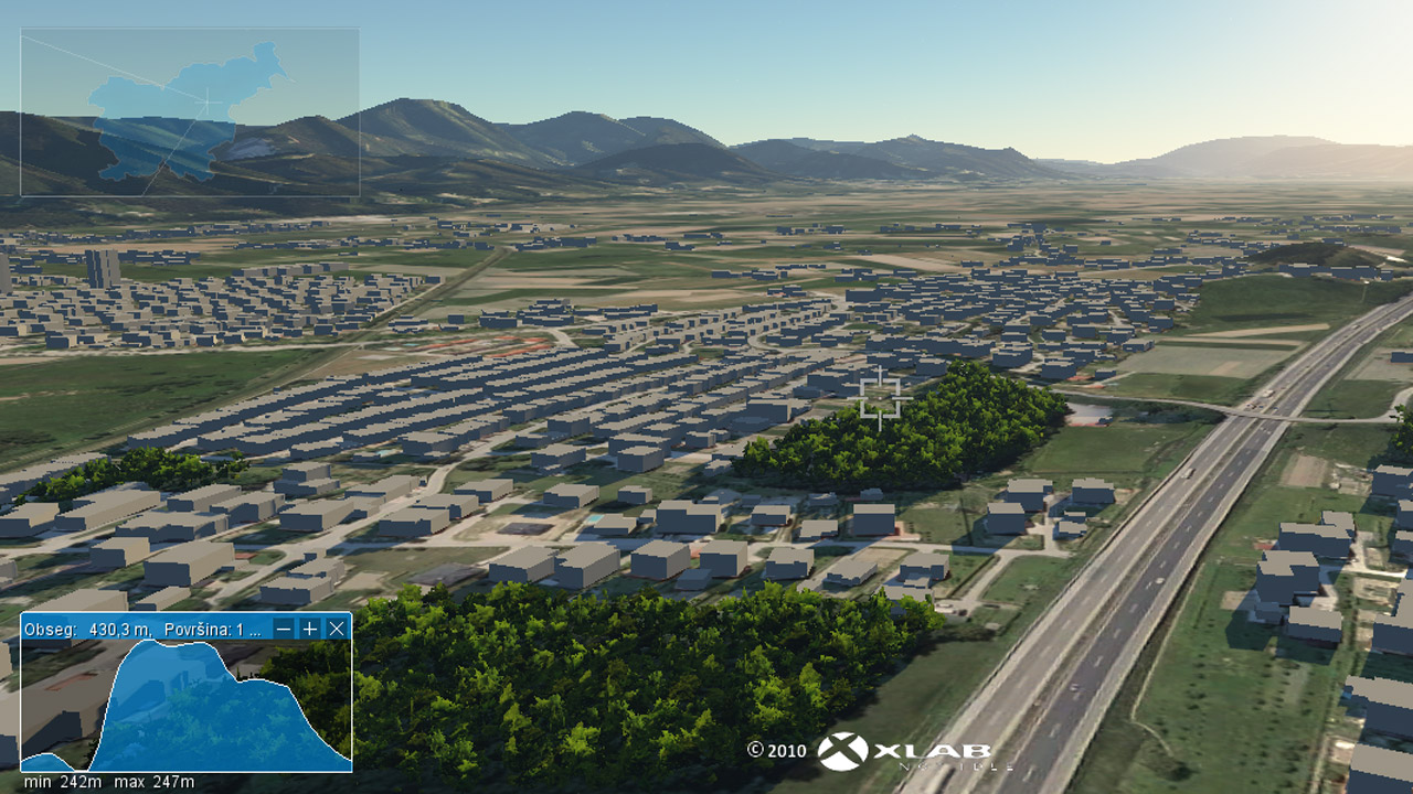
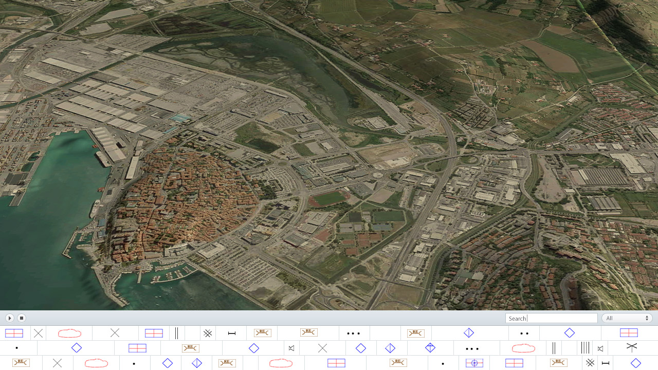
Terrain and infrastructure can be precisely and realistically presented in form of a 2D or 3D map which improves spatial awareness of intervention organizers. Units can be organized according to data from the field and GIS information. Moreover, even GPS coordinates of single units or endangered area GPS mark out can be presented.
ICDO standard symbols
Internationally approved signs are preinstalled in Gaea+ for faster and easier use. Any unit can be visualized as a sign on a map. Furthermore, important comments and custom notes can be inserted. Easily organize your units and keep your information clearly visible to everyone.
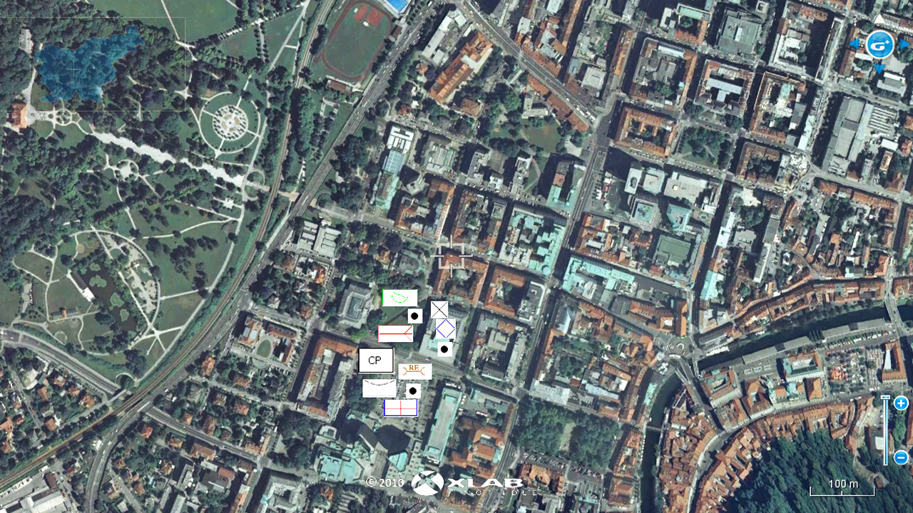
Drawing tools
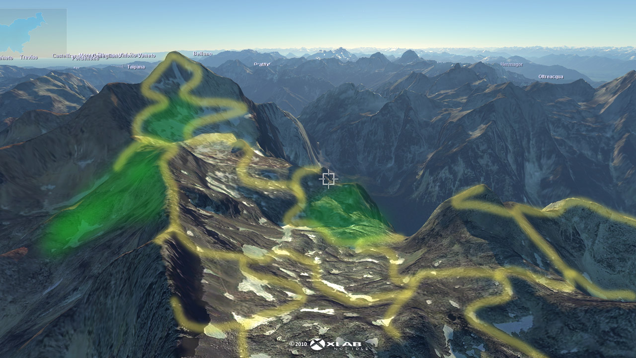
With Gaea+ drawing on terrain is easy. Tools for geometric shapes as well as the free hand drawing tool can be used. Colors and icons can be used to mark and emphasize certain locations or actions.
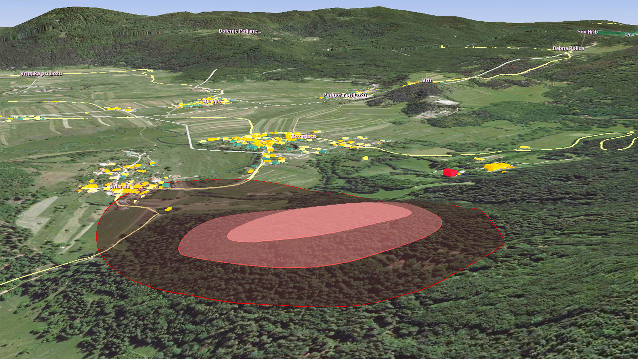
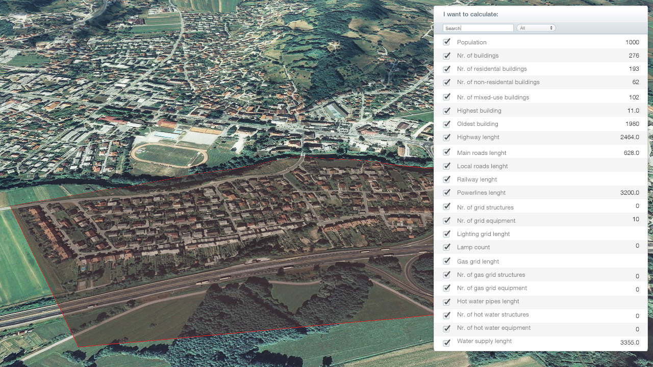
Area analysis
Any area can be captured and analyzed in detail. Information about inhabitants, number of buildings, roads and infrastructure in an endangered area can be simply calculated and presented. Furthermore, weather information, such as wind speed and direction, can be inserted for more qualitative analysis.
Keep record
Every minute of intervention actions is stored for later analysis and presentation. This enables later simulation of actions. Finding reasons of good decisions or even possible mistakes enables intervention leaders to learn and improve.
Search for a missing person
The missing person functionality enables GPS tracking of search team members and visualization of explored and unexplored areas. Gaea+ can also present unapproachable areas and more.
When I tried Gaea+ I quickly realized that it can be very useful in rescue and search interventions. With my expertise and XLAB’s knowledge we developed new tools that enable rescue teams to perform quickly and successfully.